AI Development
SpatialSync
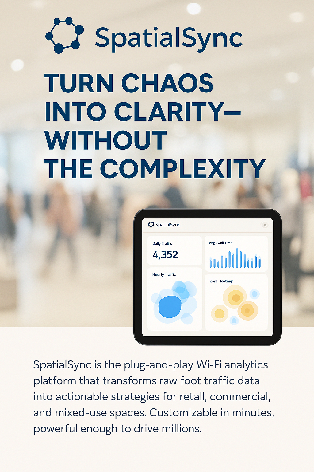
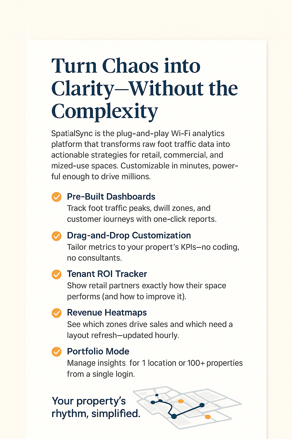
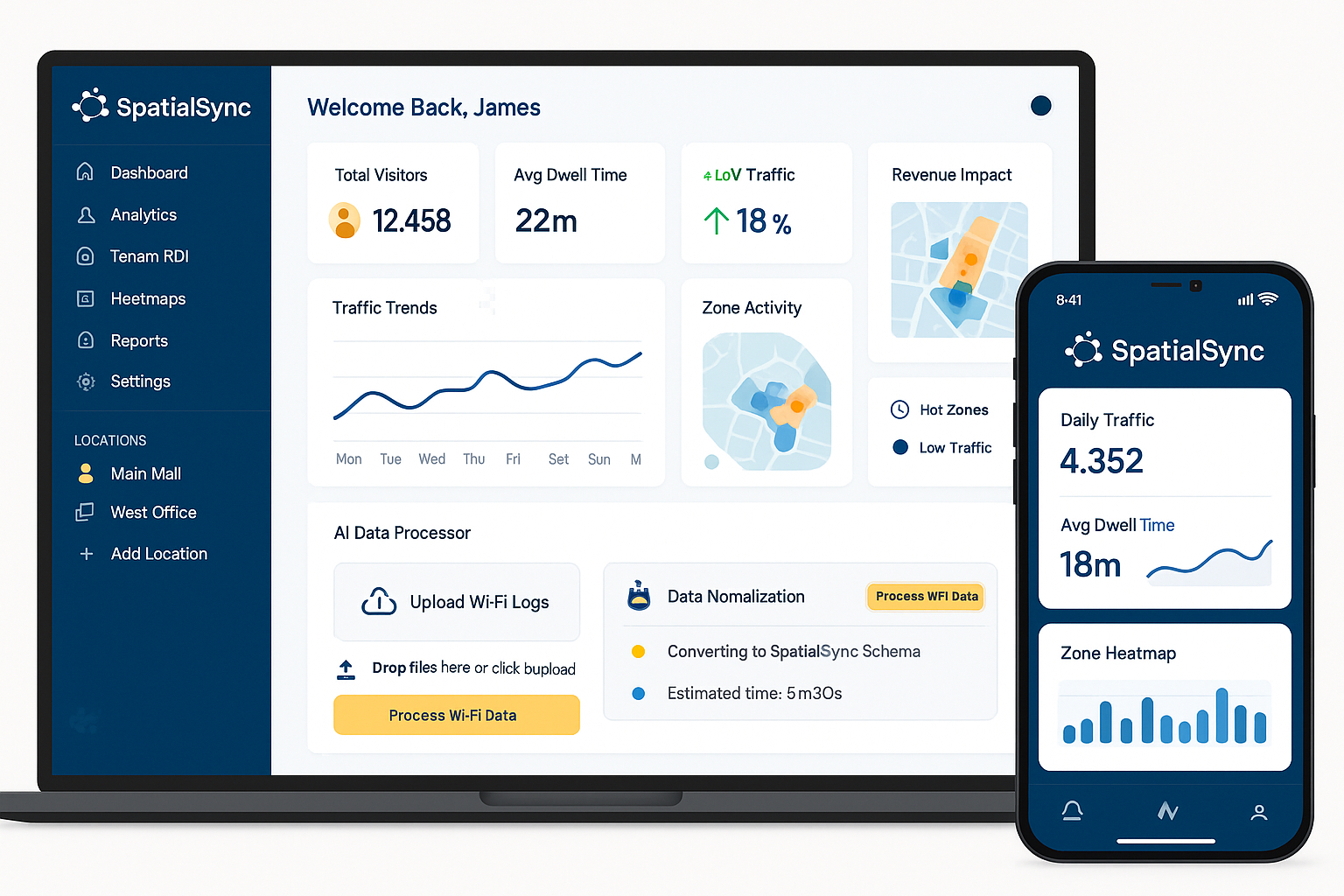
SpatialSync is a software solution designed to manage, analyse, and visualise location-based (geospatial) data. At a high level, SpatialSync:
Integrates geographic data from multiple sources (like satellites, sensors, or field data).
Synchronises and updates spatial data in real-time or scheduled intervals across platforms and teams.
Enables analysis of spatial relationships and patterns (e.g., mapping infrastructure, tracking assets, monitoring environmental changes).
Supports decision-making by offering visualisations, dashboards, and interactive maps.
Facilitates collaboration across departments or remote teams by ensuring consistent, accurate spatial data is accessible in one central system.
It's commonly used in industries like urban planning, utilities, mining, agriculture, logistics, and environmental management where geographic accuracy and coordination are essential.
What was the main challenge in this project?
1.Fragmented Data Sources
Challenge: Geospatial data is often scattered across different systems and formats.
2. Lack of Real-Time Spatial Updates
Challenge: Decision-making suffers when spatial data is outdated or not synchronised.
3.Limited Spatial Analytics Capabilities
Challenge: Organisations often lack tools to derive insights from geospatial data.
4. Inconsistent Data Quality and Accuracy
Challenge: Data entry errors, outdated maps, or incompatible systems reduce spatial accuracy.
What was your solution or approach?
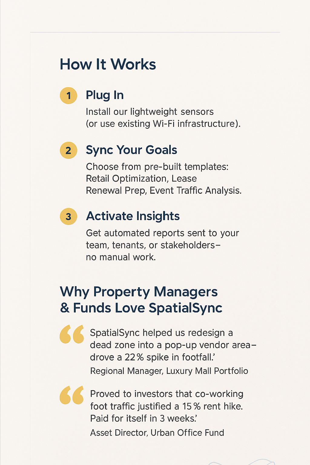
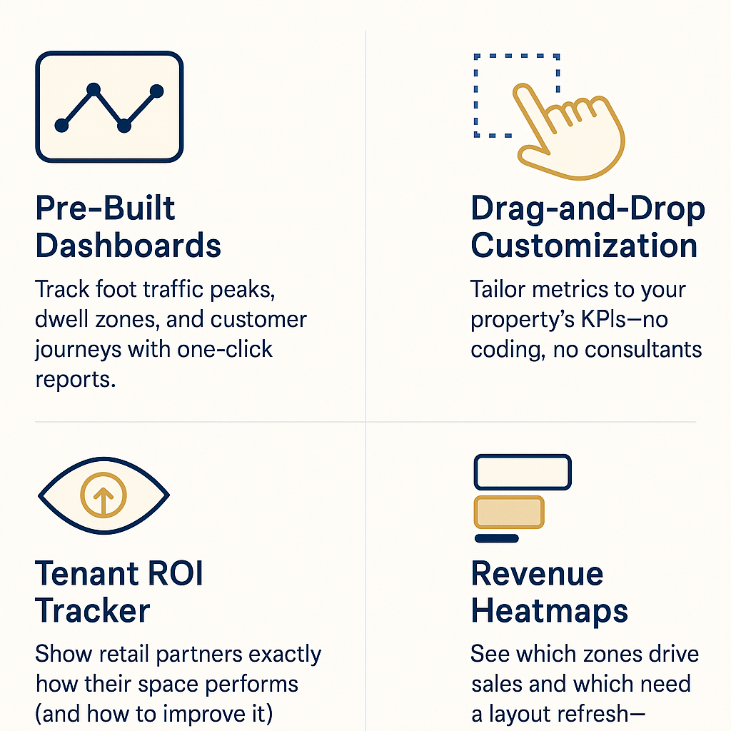
1. Solution: SpatialSync consolidates and integrates data from multiple sources (e.g., GIS systems, IoT sensors, satellites) into a unified platform.
2.Solution: SpatialSync ensures real-time or scheduled updates, keeping all users aligned with the latest spatial information.
3.Solution: SpatialSync provides built-in spatial analytics, modelling tools, and visual dashboards to interpret geographic trends and relationships.
4.Solution: SpatialSync uses validation, standardisation, and synchronisation tools to maintain data integrity and consistency.
What was the outcome or impact for the client?
Improved decision-making through real-time geospatial insights and intuitive visualisation tools.
Reduced operational inefficiencies by eliminating data duplication and automating spatial data updates.
Enhanced asset management with precise tracking, monitoring, and maintenance scheduling of infrastructure and field equipment.
Accelerated project delivery by enabling cross-team collaboration and faster access to accurate spatial data.
Lowered compliance risks by maintaining auditable records and ensuring regulatory alignment through consistent geospatial documentation.
Increased field productivity by allowing mobile and remote teams to sync data instantly, even from offline environments.
Strengthened data integrity via automated validation, standardisation, and synchronisation of spatial information across platforms.
Other case studies from Market Intelligence Agency

Business Services
MIA Electric Vehicle Chargers (AC&DC)
Other ai development case studies
AI Development
BBytecove
How We Built Convira: A Chatbot Development Services Case Study
next.jssupabaseshadcn+6
AI Development
AI Development
iindibus software
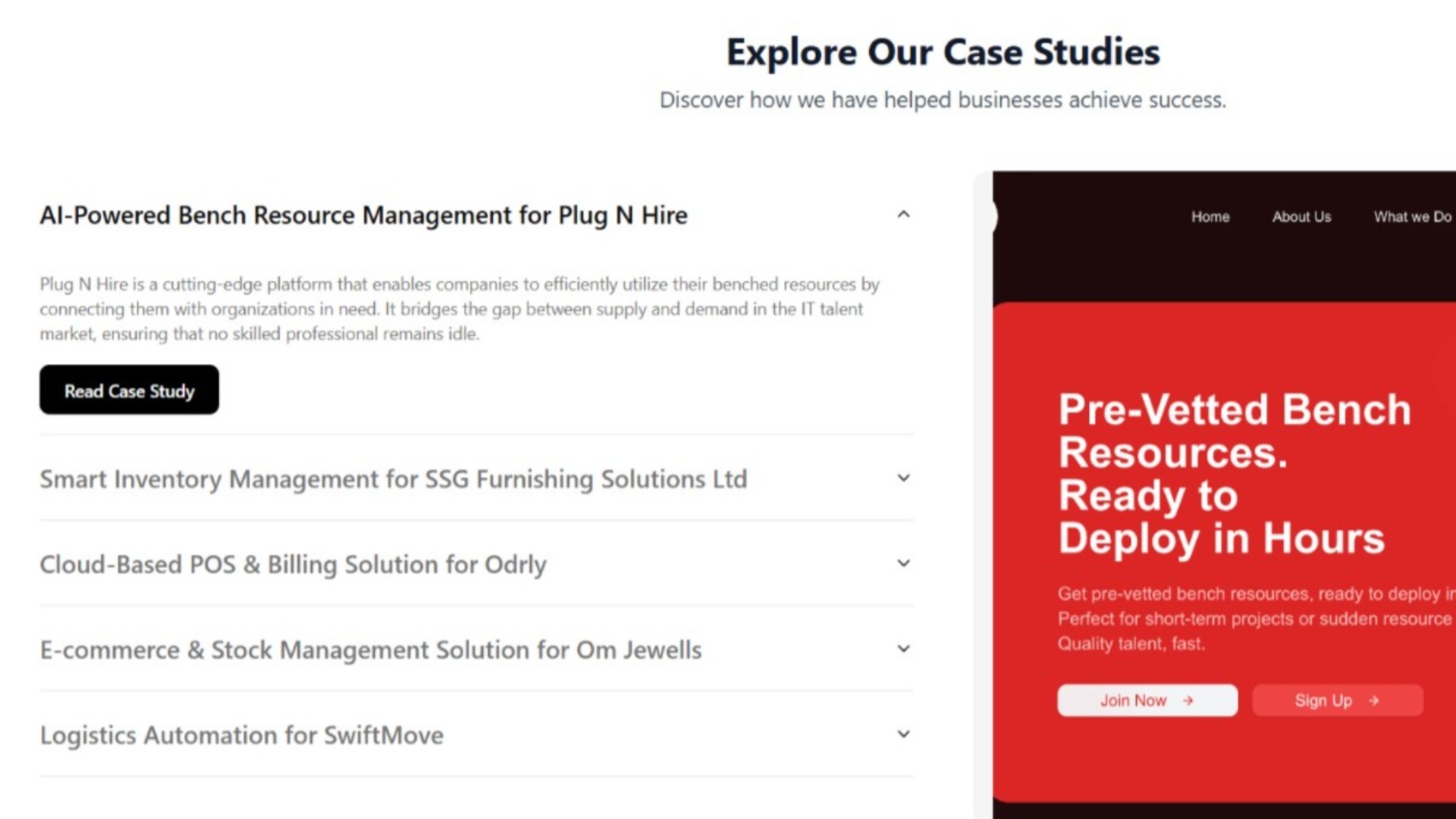
Case Studies Showcase – AI-Powered Bench Resource Management for Plug N Hire
AI Development
MMake My Brand
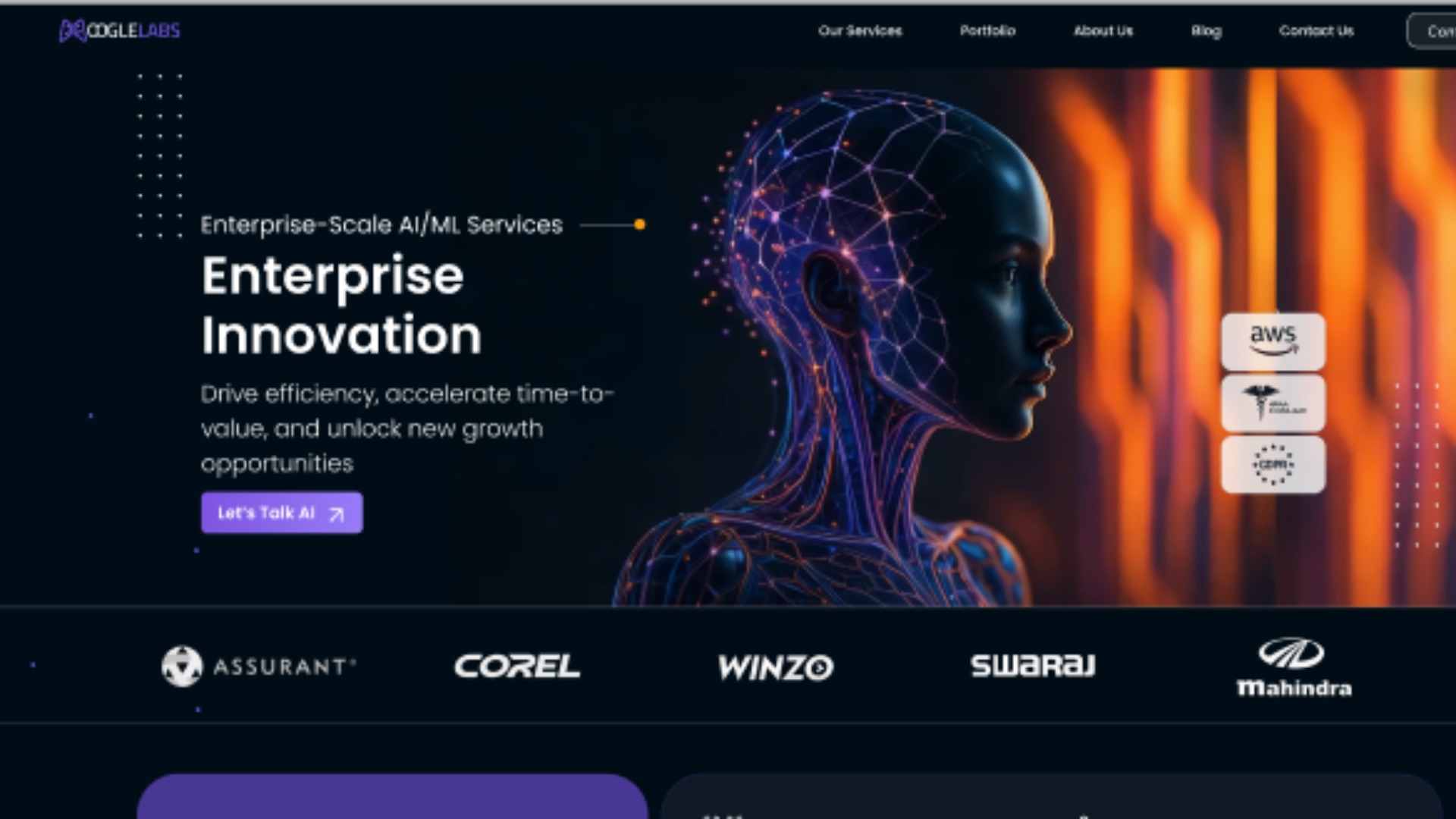
Accelerating Global Growth for MoogleLabs with Growth-as-a-Service
Branding AgencyDesign & DevelopmentUI/UX Design+6
AI Development
AI Development
KKodexo Labs
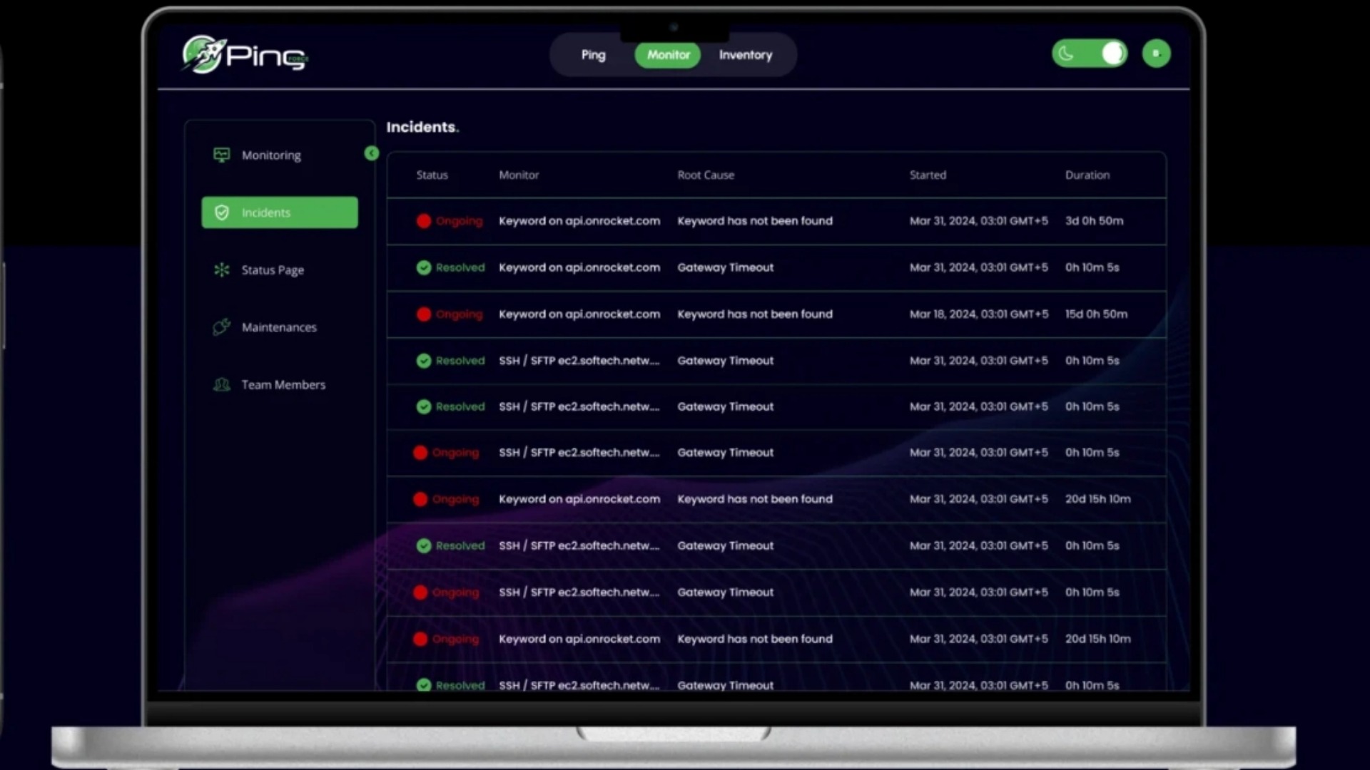
Ping Force – Web App for Seamless Networking & Communication
Software DevelopmentDesignQA and Testing+1
Project Details
M
Industry:Retail
Budget:Over $1,000,000
Duration:6 - 12 months
Need similar services?
Agencies providing ai development
Posted this
M
Empowering businesses with market intelligence and strategic advisory services.
S
We Build Tech That Delivers. Not Just Promises.
B
Software That Actually Grows Your Business
K
Expert Customized Software Solutions 🚀
S
Unlock the Power of AWS with Smile IT Solutions
M
Growth Partner for Strategic Innovation
S
Empowering Businesses Through AI-Powered Software Development
R
RR88
i
AI Development Company & IT Staffing Company